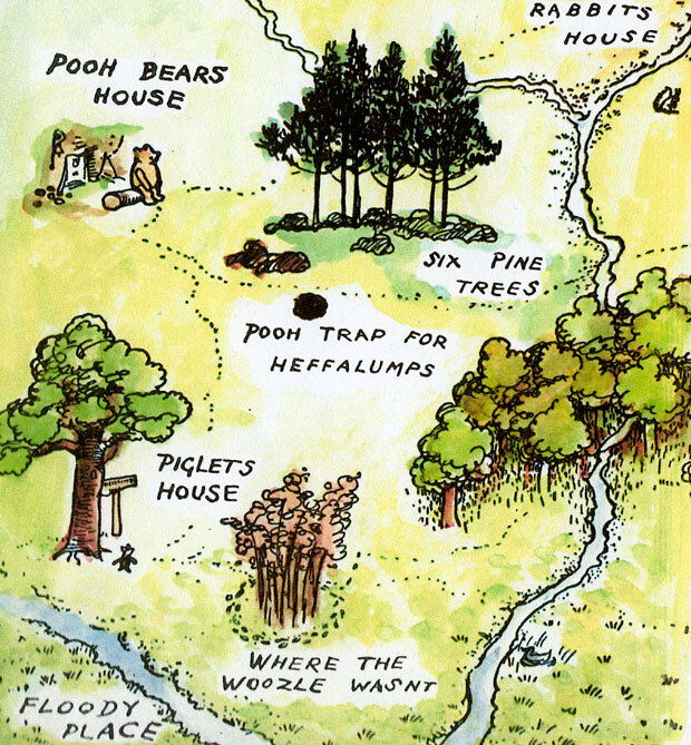
We were approached by the Pool RGMC (Recreation Grounds Management Committee) to create an artwork, in conjunction with retired teacher Richard Parker and the children of Pool C of E Primary School, in the style of E H Shepherd's 100 Aker Wood Map for the grounds of the local park.
The RGMC wished to re-brand and rename the area, Pool Riverside Park, and briefed us to create a logo that would fit the bill! To further encourage residents to make full use of the area they wished us to create two interpretation boards (maps) to be sited close to the access points to the park.

Our first point of call was to walk the area of parkland, taking photos and sketching areas to create a scaled map. Not such an easy thing to do, as streams were almost invisible with their summer growth and paths took us backwards and forwards and round and around! This all helped though to create a first stage design visual of the map at full size.


Workshop dates were organised over three afternoons during term-time, so that all children of the school could help with this project. Along with the map visual we prepared sheets of images to inspire the children to complete pencil drawings of what could be included on the map: trees and other wildlife, recreational pastimes like dog walking, cycling, playing football and cricket, or simply just people enjoying the great outdoors!Led by Richard Parker we spent three very enjoyable workshop sessions with the children and their creative excitement led to some fantastic drawings!


Back in our studios I sifted through all the children’s drawings and chose the most relevant. These were scanned into my computer and scaled to the correct size before piecing together and printing out seven A4 sheets of combined drawings. Using the children’s amazing drawings was a joy and turned into a work of love! I also added my own drawings of areas that the children hadn’t chosen to draw, such as: Pool Bridge and Pool Village Hall. Names chosen were also added. Next stage was colouring in the various areas of the map, all created on my computer to resemble a watercolour paint effect. The feedback up to now has been fantastic, but you will have to wait to see the coloured in version on my next blog!